Yanan Wu
(中文名:吴亚南)
Assistant Professor
Department of Geography, Central Arkansas University
About Me
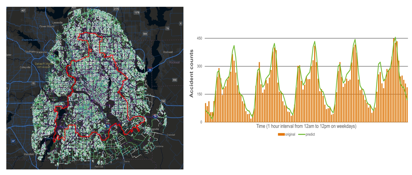
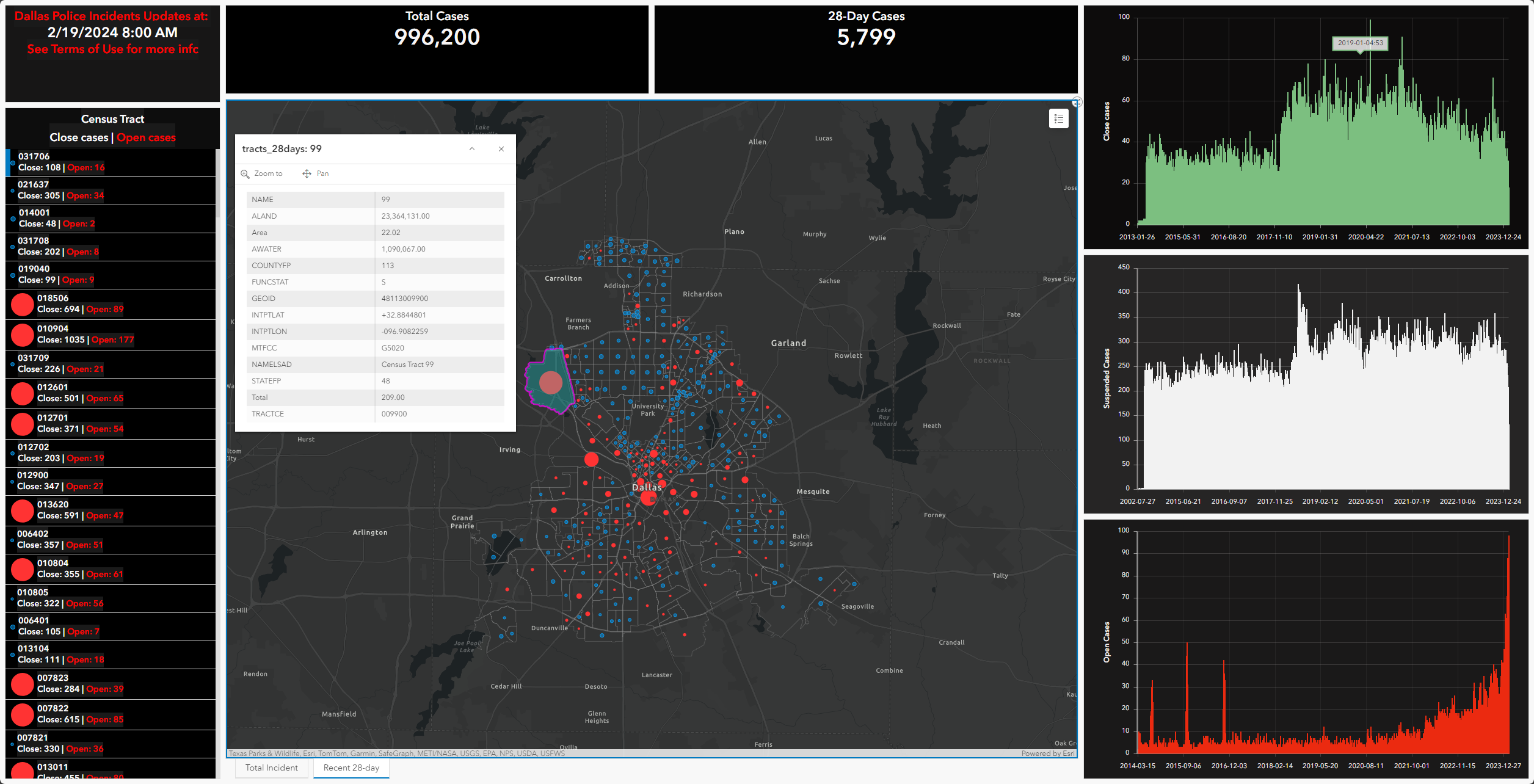
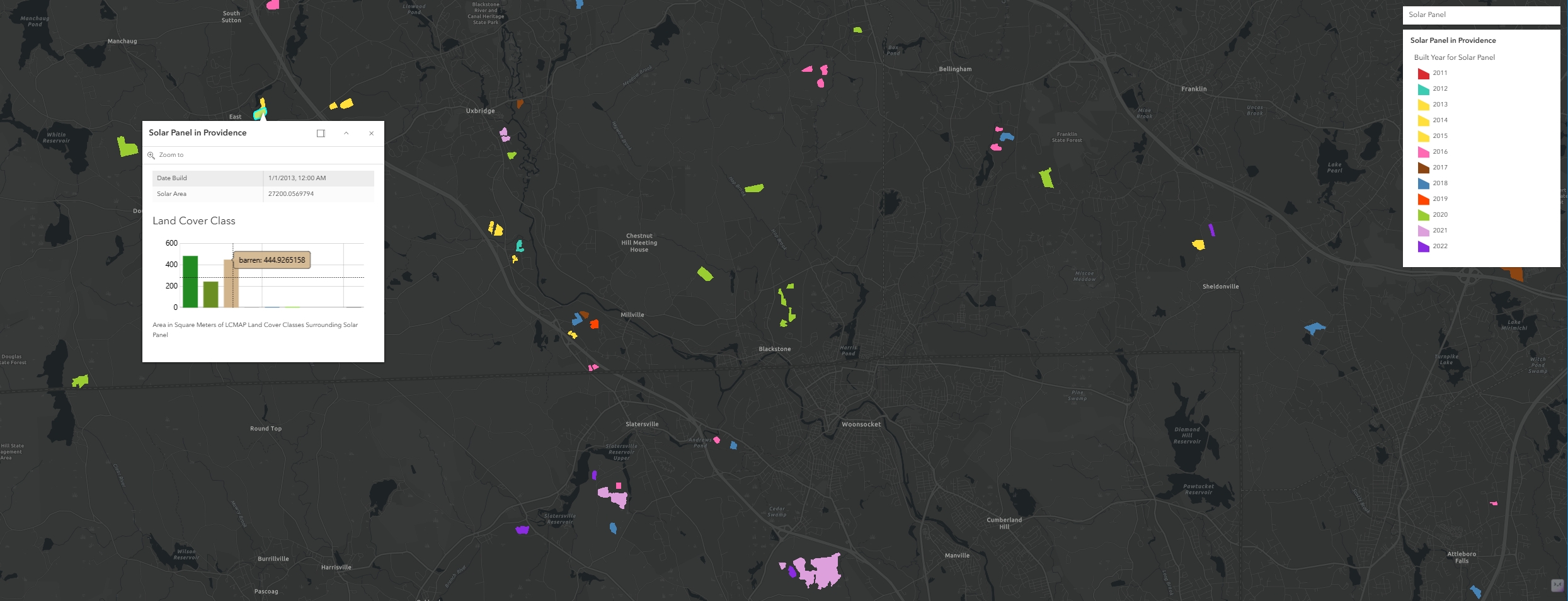
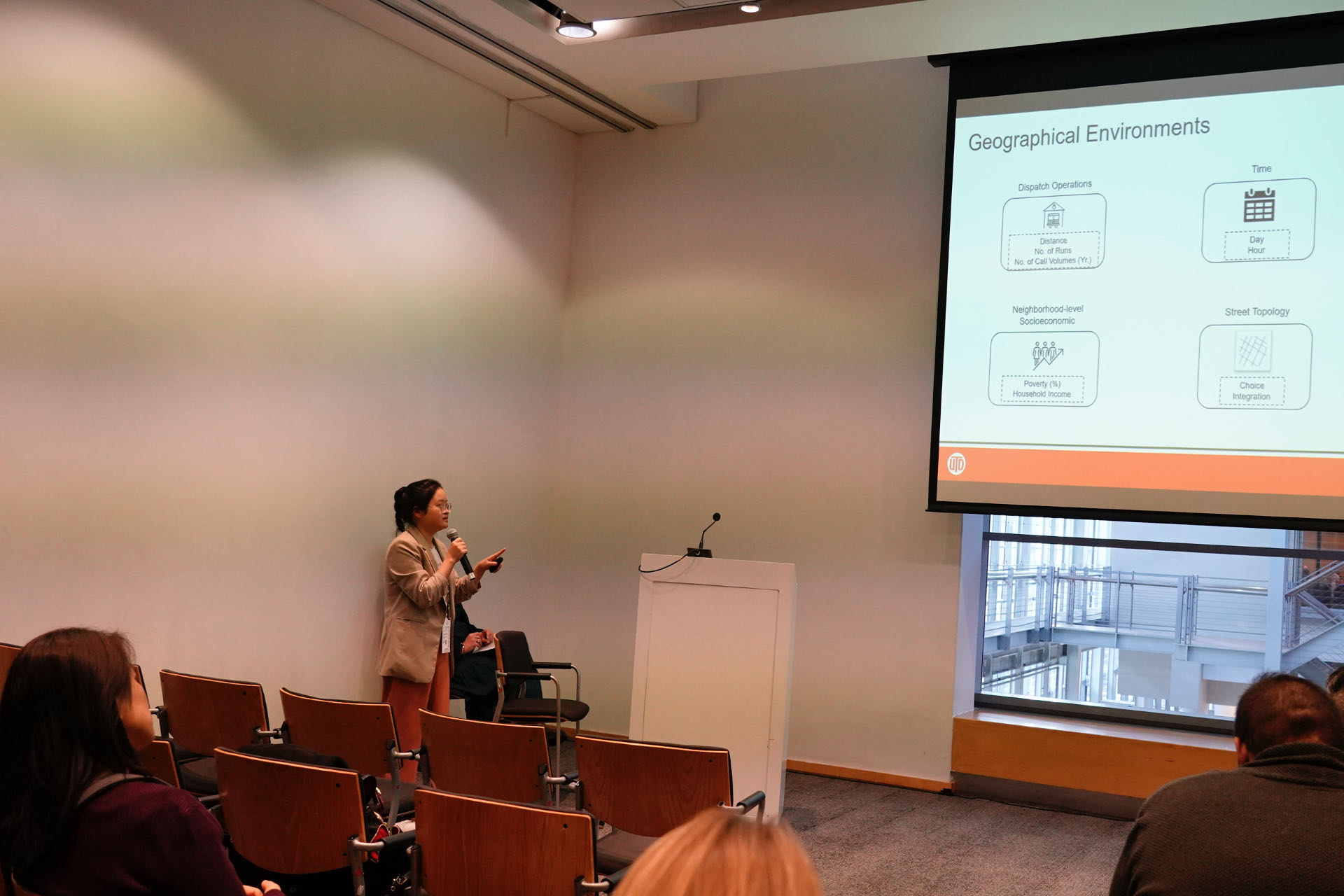
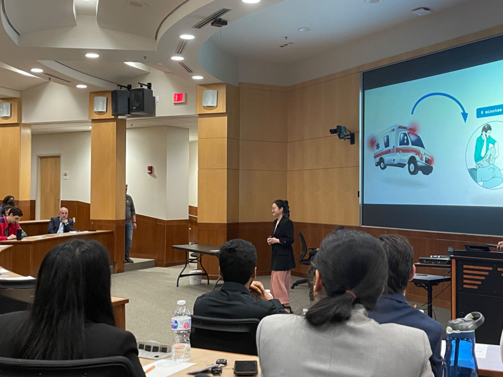
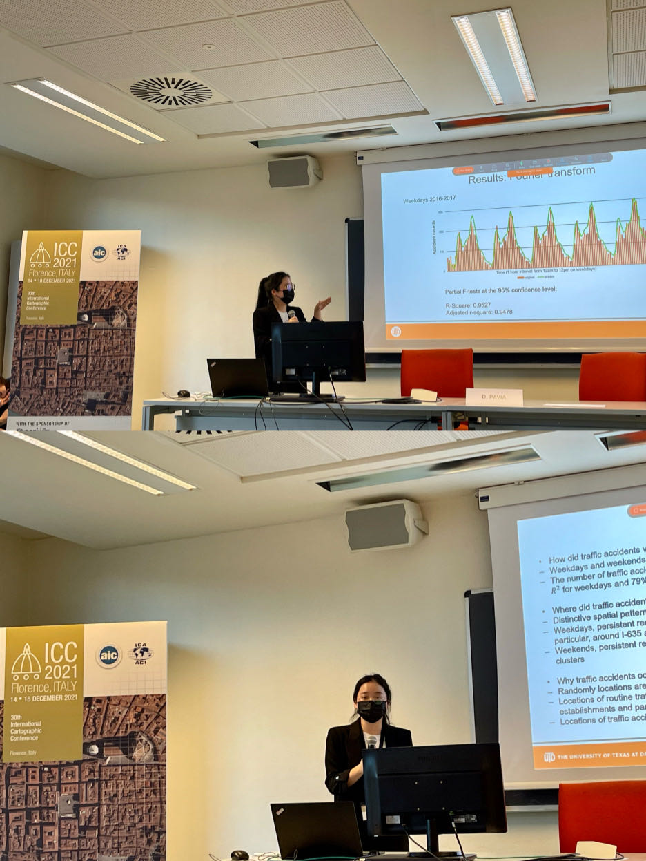
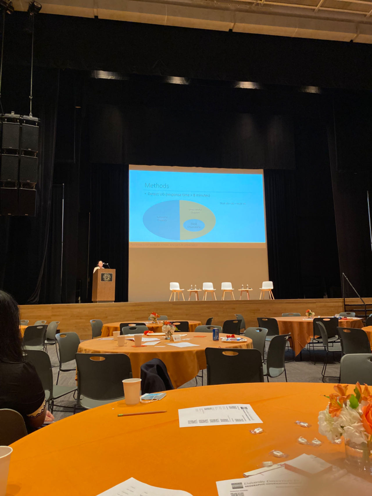
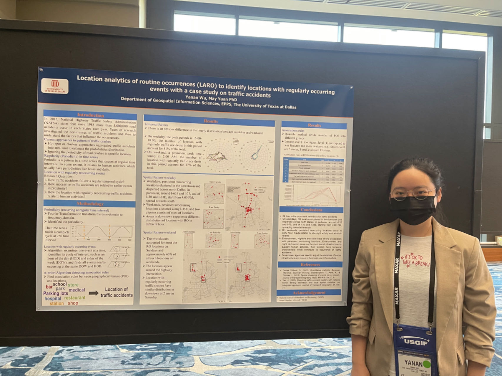
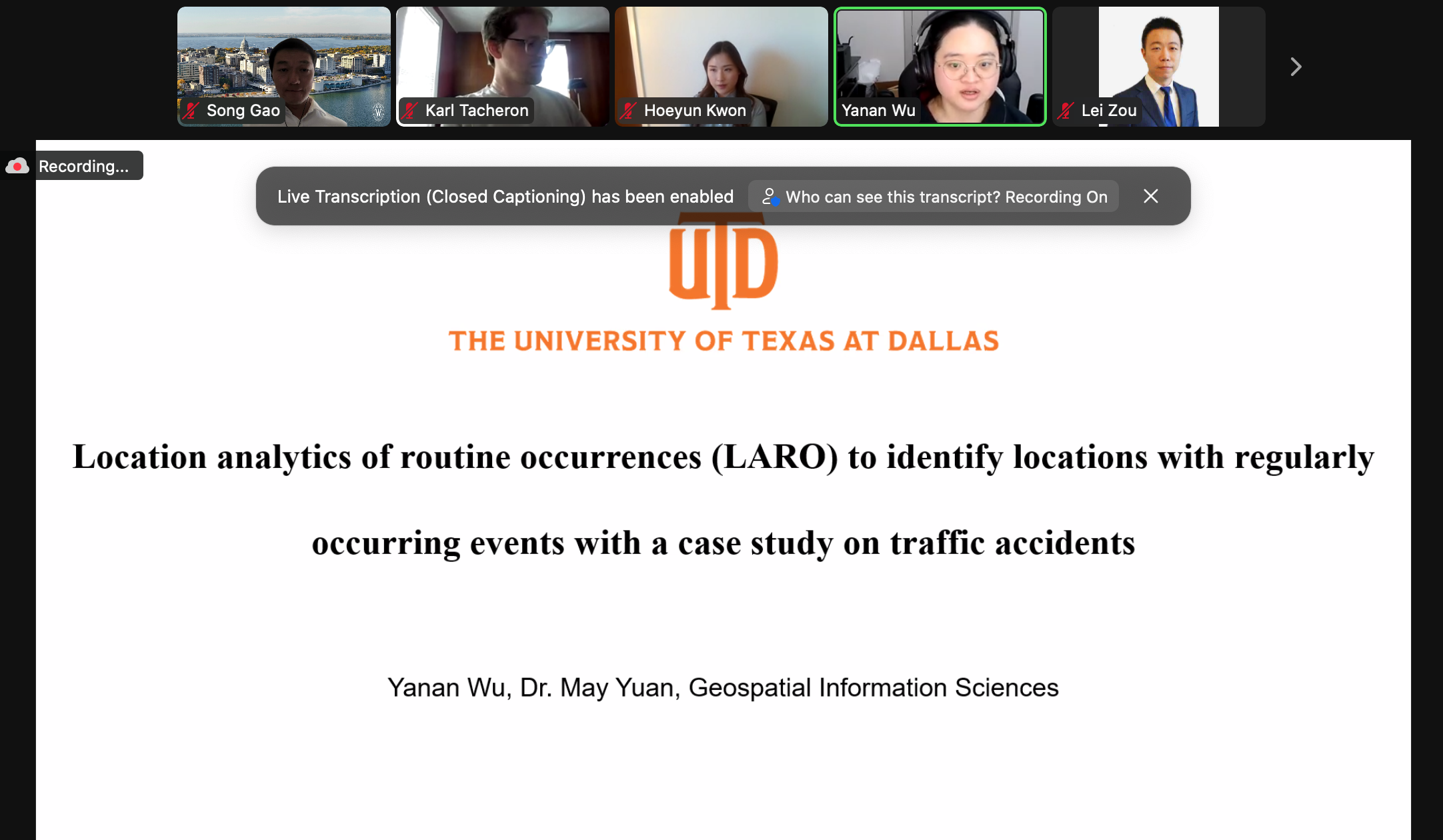
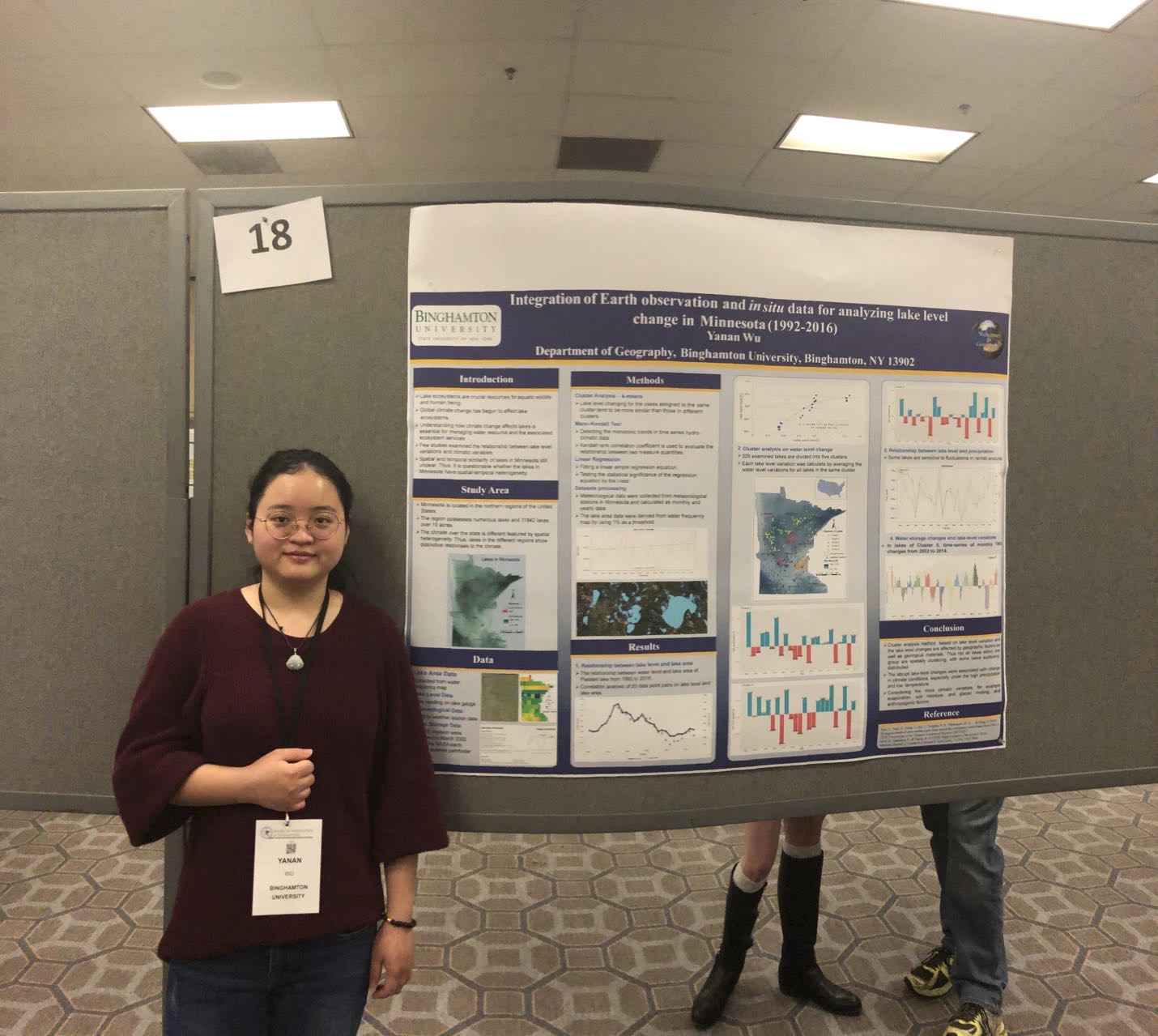
Hi, I'm Yanan, currently serving as an Assistant Professor in the Department of Geography at Central Arkansas University. I hold a Ph.D. in Geospatial Information Sciences from the University of Texas at Dallas, an M.A. in Geography from Binghamton University (SUNY), and a B.S. from Xi'an University of Science and Technology. As a geographer and GIScientist, my expertise lies in transportation geography, social geography, spatial-temporal analysis, and advanced GIScience methodologies. My research focuses on developing innovative spatial analysis techniques to understand urban dynamics and improve emergency response systems. My recent research has focused on analyzing emergency response times for vehicles in Dallas, where I utilized fine-grained spatial units to predict areas with extended response durations. This work is part of my broader interest in leveraging geographic information systems to address real-world challenges in urban environments. I have published extensively in top-tier journals including Information, ISPRS International Journal of Geo-Information, and Abstracts of the ICA. My teaching interests include GIS programming, spatial statistics, web mapping, and quantitative methods in geography. I am passionate about mentoring students and developing innovative approaches to spatial data analysis and visualization.
Education
• 2019–2024 Ph.D. in Geospatial information sciences.
University of Texas at Dallas, Texas, USA
• 2017–2019 M.A. in Geography. Binghamton University (SUNY), NewYork, USA
• 2013–2017 B.S. in Resource Environment and Urban-Rural Planning Management.
Xi'an University of Science and
Technology, Xi'an, China
Appointments
• 2025–now Assistant Professor, Department of Geography, Central Arkansas University
• 2024–2025 Visiting Assistant Professor, Geography Department, Clark University
• 2024–2024 GIS Analyst, Information Technology Services, City of Lewisville
• 2023-2024 Teaching Assistant, Gepspatial Information Scicences Department,
UTD
• 2021-2023 Instructor, Gepspatial Information Scicences Department, UTD
• 2020-2021 Teaching Assistant, Gepspatial Information Scicences Department,
UTD
• 2019-2020 Research Assistant, Gepspatial Information Scicences Department,
UTD
• 2017-2019 Graduate Assistant, Geography, Binghamton Department